
Redondo Beach ZIP Code Coverage
Redondo Beach has two ordinary delivery ZIP codes tied to the city's main south and north areas. A ZIP describes the delivery route used by the United States Postal Service. It does not decide whether a parcel is inside the city, whether a person is a resident, or which election precinct applies. The coverage table keeps those questions apart while naming the post-office locations that help confirm a mailing address.
| ZIP | Areas Covered | Post Office | Notes |
|---|---|---|---|
| 90277 | South Redondo, the coast, pier and harbor, downtown and original townsite, plus residential South Redondo | Redondo Beach 1201 N Catalina Ave 310-376-3252 Mon-Fri 9-5; Sat 9-3 | Ordinary delivery ZIP for the southern city area. |
| 90278 | North Redondo, the Artesia corridor, and the inland or northern neck of the city | North Redondo Beach 2215 Artesia Blvd | Ordinary delivery ZIP for the northern city area. |
There is no authoritative evidence of a third Redondo Beach PO-box-only or unique ZIP. The 2025 USPS Sorting and Delivery Center notice places the 1201 N Catalina facility in an operational service role for 90254, 90277, and 90278. That does not make 90254 a Redondo Beach ZIP. It is a Hermosa Beach ZIP that appears in a Redondo facility's delivery operation.
The 90277 ZIP Code in Redondo Beach
90277 is the postal geography most often associated with South Redondo. It reaches the coast, pier and harbor, downtown and the original townsite, along with residential districts south of the city's commonly used 190th Street dividing line. Postal identity still needs address-level checking. A coastal address may carry a unit or suite detail that a historic directory does not print, and a community label may extend beyond a municipal line.
For the current station details, use the USPS Redondo Beach post office listing for 1201 N Catalina Avenue. The listed phone is 310-376-3252, with weekday and Saturday hours documented in the local research.
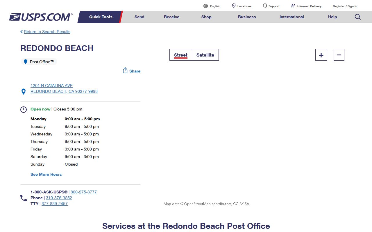
The station view supports postal verification, but it does not create a resident list. For a person or parcel, carry the exact address into the assessor and then into the relevant record system.
South Redondo's older record trail benefits from the original townsite context. Early Sanborn maps, the Redondo Compass, the Redondo Reflex, and early directories can place a name or building in time, but they use their own street and locality labels. A postal label is a modern delivery clue, not a substitute for the historical source's printed address.
The 90278 ZIP Code in Redondo Beach
90278 covers North Redondo, the Artesia corridor, and the inland or northern neck of the city. North Redondo's growth history makes the date of the address important. Redondo Villa tracts opened in 1906 and 1907 and were annexed in 1927. Later subdivision, permit, telephone, yearbook, and aerospace records may be more useful than an early directory for a parcel that did not yet exist in its modern form.
The USPS North Redondo Beach post office listing identifies the station at 2215 Artesia Boulevard. It is a postal reference point for the northern ZIP, not a city boundary survey.
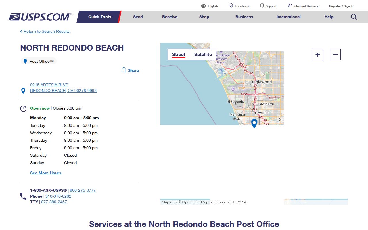
That distinction matters when an old name appears absent. A missing 1930s listing may mean the tract or building had not taken its later form, not that a known family had no Redondo connection.
North and South Redondo are joined by a narrow municipal shape, so a ZIP-only assumption can pull a search toward Lawndale, Torrance, or Hermosa context. Confirm the city with the parcel layer after the postal check.
Note: A missing early directory entry may reflect later tract growth, not the absence of a North Redondo family.
Why 90254 Appears at Redondo Beach
The 2025 USPS Sorting and Delivery Center notice is a useful local geography quirk. The 1201 N Catalina facility serves 90254, 90277, and 90278 operationally. 90254 remains a Hermosa Beach ZIP, not a third ZIP for Redondo Beach. A sorting center can group delivery work without changing a city's incorporation, a parcel's situs, or a resident's jurisdiction.
When a letter, directory entry, or online result names a nearby postal city, retain the original mailing line. Then compare it with the assessor's situs, the parcel map, and the city or election record that governs the question. A post-office service area is evidence about mail flow. It is not evidence that Hermosa has been annexed, that a Redondo parcel moved, or that a person belongs to a Redondo civic district.
That same rule protects historical research. The original townsite, the coast, and the Riviera may be discussed as parts of a South Bay community even when a particular parcel falls in another municipality. Keep the geographic identity and the legal jurisdiction in separate columns.
Hollywood Riviera's ZIP Code Boundary
Hollywood Riviera is a second boundary trap. The community identity crosses into present Torrance, and much of the Riviera uses Torrance 90505 in its postal line even while “Redondo” remains part of the neighborhood's public identity. A ZIP code directory that files every Riviera mention under Redondo Beach will blur city, county, parcel, and historical context.
Use the postal address first, then the assessor situs and AIN. If the question concerns a city permit, election precinct, or court location, verify the governing agency separately. If it concerns an earlier household, compare the address with a directory, newspaper, tract map, or Sanborn sheet from the same period. Hollywood Riviera's community name is useful for discovery; it is not a legal parcel description.
The Redondo Beach Public Library local-history collection is a good place to compare directories, newspapers, and yearbooks when a neighborhood label crosses a modern city line.
Redondo Beach ZIP Code Limits
Postal and civic maps answer different questions. ZIP means delivery routing. ZIP+4 adds a four-digit delivery segment to a five-digit ZIP, often narrowing a street range, building, or other route. A PO-box ZIP is assigned to boxes rather than ordinary street delivery. A unique ZIP serves one organization or facility. A carrier route is a delivery path used by the Postal Service inside a ZIP, not a public resident roster.
- ZIP versus ZIP+4
- The five-digit ZIP identifies the broad delivery area; the extra four digits refine the route or delivery segment.
- PO-box ZIP
- A postal code used for boxes at a post office. It does not describe the physical location of a person's home.
- Unique ZIP
- A code assigned to one organization, campus, or facility rather than a broad neighborhood.
- Carrier route
- A delivery path within a ZIP. It helps mail operations and is not a complete list of people or parcels.
Boundary check. A Redondo mailing ZIP, a Redondo city limit, an assessor parcel, a legal description, and an election geography can disagree. Verify the exact address before assigning a record to a place.
There is no verified local ZIP split or realignment year in the research, and no authoritative polygon intersection that can be used to claim a complete ZIP-by-city count. A mismatch should be stated, not smoothed away.
Redondo Beach Assessor Search Fields
The Los Angeles County Assessor Portal is the bridge from postal geography to a parcel. Its documented public search modes do not include a verified ZIP-wide resident filter or an owner-name export. Enter a full address or an AIN, then preserve the result's situs, parcel facts, tract or lot, and map reference. A ZIP code can help locate the address, but it is not the portal's confirmed search key.
| Assessor field | Type and requirement | What it returns |
|---|---|---|
| Search by AIN or Address | Autocomplete text; required | A ten-digit AIN or a normalized address result tied to one parcel. |
| Map Search | Spatial mode; optional | A map for panning and clicking parcels, not a verified street-wide table export. |
Open the Los Angeles County Assessor Portal after the postal check. The AIN is displayed four-three-three. The public parcel view can show situs, use type, status, tax-rate area, units, building and land facts, roll values, and legal tract or lot description. The inspected interface did not plainly expose a public owner-name or mailing-address field, so ownership and occupancy should not be inferred from a ZIP search.
For address-level resident research, record the USPS line, assessor situs, AIN, parcel geometry, and legal description as separate values. An owner mailing address can point to a PO box, entity, manager, or another parcel. A legal description identifies the conveyed interest. None of those fields is interchangeable with a delivery ZIP.
Note: An AIN anchors a parcel, but it does not turn a ZIP into a named household.
Redondo Beach ZIP Data Gaps
A useful ZIP code directory must say what cannot be counted. No authoritative source located a local ZIP split or realignment year, exact ZIP and city polygon intersections, ZIP-level registration statistics, or a local ZIP resident export. No verified assessor ZIP filter was captured. The absence of those tools means a search should remain address by address rather than imply that every person in 90277 or 90278 is available in one public roll.
Citywide context is different from ZIP data. Census QuickFacts for Redondo Beach can provide city-level demographic context, but Census geography and USPS delivery geography are not the same product. A city total cannot be divided between the two ZIP codes without an authoritative method and source.
The city also has its own digital-record limits. The Laserfiche archive is a selected collection, and the city's large digitization project is still loading documents. The Redondo Beach Laserfiche directory archive can be checked for a hit, but a blank result is not a certification that the city lacks the record. Route municipal questions to the City Clerk instead of treating a postal search as a records request.
Find Redondo Beach Residents by ZIP
A ZIP-keyed workflow narrows geography first and names second. Because no local portal was verified to export residents by ZIP, the safe method is to validate one address, translate it into a parcel or record identifier, and then ask the appropriate custodian. A postal code can guide a search without becoming a claim about every person in that delivery area.
- Confirm the complete mailing line with USPS, including the ZIP, city label, unit, or box detail. Keep 90254 separate from Redondo's two ordinary delivery ZIPs.
- Enter the street address or AIN in the assessor portal. Record the normalized situs, AIN, tract or lot, and parcel map rather than trying to force a ZIP into an unverified field.
- Choose the record that answers the question. A deed request uses party name and recording year, a court search uses a case number or paid party-name service, and a vital request uses the event and eligibility rules.
- Use voter status only for personal verification. A full voter file requires a documented purpose under Elections Code section 2194 and is not a public by-ZIP name list.
- Once one address is confirmed, move to the Redondo Beach street directory for parcel-by-parcel work. Keep the ZIP as a postal field beside, not in place of, the street and legal parcel.
Address-level work also handles multi-unit and corner parcels better than a ZIP list. One street number can contain several AINs, and a corner parcel can face another street. The map and legal description settle the property identity; the postal label only begins the translation.
Redondo Beach ZIP, Parcel, and Election Maps
Four geographic labels commonly travel together but should remain distinct. USPS address means deliverability. Assessor situs means the physical assessed location. The owner mailing address is where notices go when disclosed. A deed's legal description identifies the interest conveyed. Election precinct and district geography comes from election records and can change independently of a ZIP code. The city controls municipal permits and requests, while the county controls the assessor and recorder systems.
That translation is especially important around South Redondo's coast, North Redondo's narrow inland neck, the 1906 Clifton-by-the-Sea Avenues A through I, and Redondo Villa's 1927 annexation. A historic directory may print an older locality or street form. A modern ZIP may still deliver the mail correctly even when the older record uses a different place label. Compare the source date, not just the matching words.
Note: A ZIP code can locate a delivery route, but only the relevant custodian can confirm the parcel, voter status, court party, or resident evidence tied to one address.